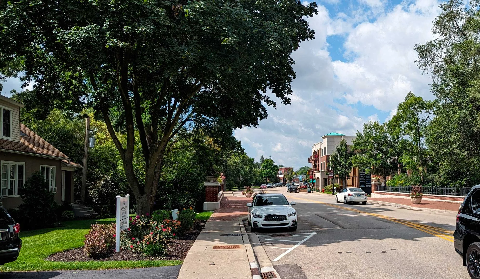
Then & Now: Shermer Road in Northbrook Downtown
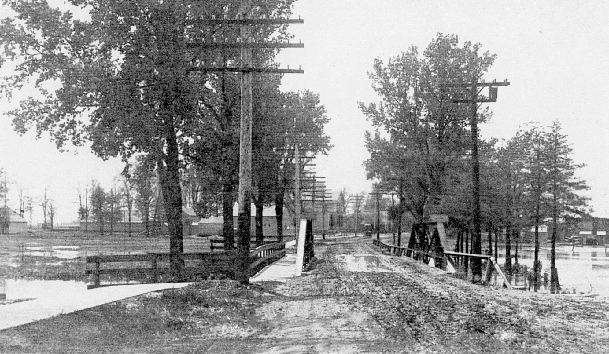
A lot can change in 125 years, including the path of a river. Long before today’s downtown took shape, the West Fork of the North Branch of the Chicago River looked very different. In the early 1900s, the river was shallower and would constantly overflow its banks during heavy rains, causing frequent flooding in the business district.
To help protect the growing community, several sections of the river were dredged and straightened to improve the flow of water. Over the years, the bridge at Shermer Road was also updated to accommodate changes to the river and the increasing number of people traveling through downtown.
Flood management has continued to evolve ever since. Today, a combination of engineering, stormwater infrastructure, and ongoing maintenance helps reduce flooding and protect the downtown area.
The older photo, taken around 1915, captures a much different view of downtown Northbrook and serves as a reminder of how the Village has continued to adapt and grow over the past 125 years.